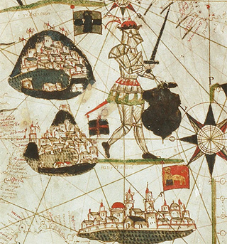
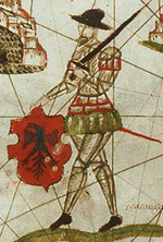
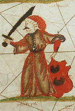
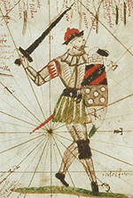
As of the 14th century, portulan charts developed beyond naming the ports and headlands of Mediterranean coasts. They started portraying maritime trade routes into the interior, and the sovereign powers that reigned there.
As the Age of Discovery dawned, these concerns were gradually extended to all the territories explored by Europeans, and competition between rival powers rose sharply.
As the Age of Discovery dawned, these concerns were gradually extended to all the territories explored by Europeans, and competition between rival powers rose sharply.