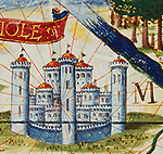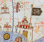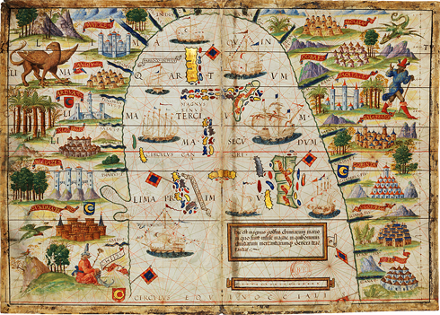
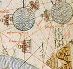
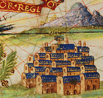
As of the early 14th century, cartographers started embellishing coastline maps with sketches of urban settlements or prominent geographical features. Illuminators adopted a consistent system for drawing the lost cities of ancient civilisations, powerful maritime city-states, and trading cities on all the continents depicted on a single chart.