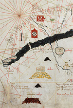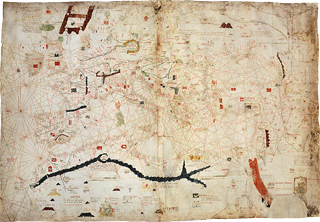
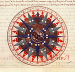
The first nautical maps appeared in the 13th century, along with use of the compass. Historians now refer to these maps as portulan charts. They indicate a succession of ports and harbours along the coast, while the open seas are crisscrossed with geometrical lines that indicate compass directions. Wind roses were included to help navigators determine their route and set a heading.