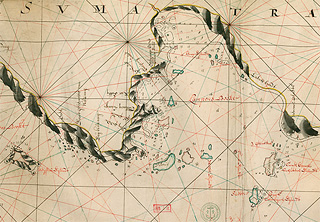
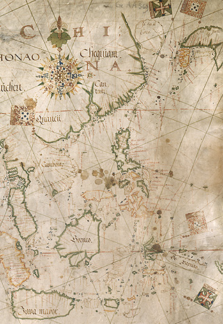
The Dutch updated their navigational charts regularly, collecting precise information and ensuring large-scale map production. The French also established a presence in India in the 18th century, with coveted cities and trading posts on the Indian coast; Lafitte de Brassier's atlas constitutes a fine example of French cartography. The British also maintained a significant presence, and produced detailed charts.