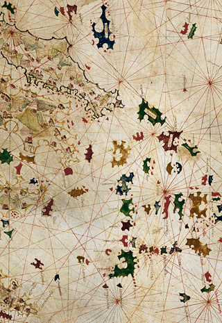
As they were originally used by seafarers, nautical maps included graphical tools to facilitate maritime navigation: compass roses and coloured wind lines, clearly depicted shore lines around islands and estuaries (areas of particular danger for seafarers), and place names written perpendicular to the coastline to facilitate reading. Their authors intended to give them an encyclopaedic dimension.