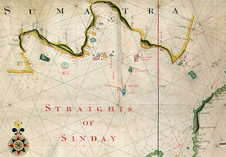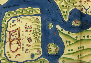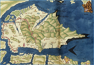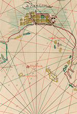
In the 17th century, the emergence of merchant companies and trading posts caused new map production centres to be established in European colonies like Goa and Batavia (Jakarta).
As the 16th century dawned, cartography became a State concern, and the publication of geographical information was controlled by State administrators in Spain and Portugal. A Padrón Real prototype was intended to be the sole template for all official maps.
As the 16th century dawned, cartography became a State concern, and the publication of geographical information was controlled by State administrators in Spain and Portugal. A Padrón Real prototype was intended to be the sole template for all official maps.


